How hard is the Laugavegur Trail? Difficulty, fitness and what to expect
Short answer
The Laugavegur is a moderate trek: about 53–55 km over 4 days of 12–16 km, with roughly 1,000 m of climbing and 1,350 m of descent and no technical sections. What makes it hard is not the path but the conditions: wind, fog, snowfields, ice-cold river fords and carrying your gear. Anyone who can walk 15 km with a pack on two days in a row can do it in good weather.
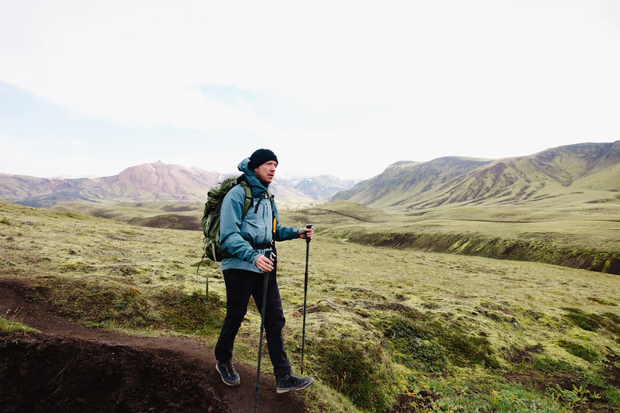
The Laugavegur has a reputation for being tough, and it can be. But the trail itself is well marked and has no scrambling or exposed ridges. The difficulty depends almost entirely on the weather and on how much you carry.
The route in numbers
| Day | Stage | Distance | Time | Climb / descent |
|---|---|---|---|---|
| 1 | Landmannalaugar → Hrafntinnusker | 12 km | 4–5 h | + 470 m |
| 2 | Hrafntinnusker → Álftavatn | 12 km | 4–5 h | − 490 m |
| 3 | Álftavatn → Emstrur | 16 km | 6–7 h | mostly flat, small climbs |
| 4 | Emstrur → Þórsmörk | 15 km | 6–7 h | − 300 m |
| Total | Landmannalaugar → Þórsmörk | 53–55 km | 4 days | ± 1,000 m up, ± 1,350 m down |
Stage figures are from Ferðafélag Íslands; the totals come from a GPS track of the full route. You’ll find the elevation profile on our complete guide.
What makes it hard
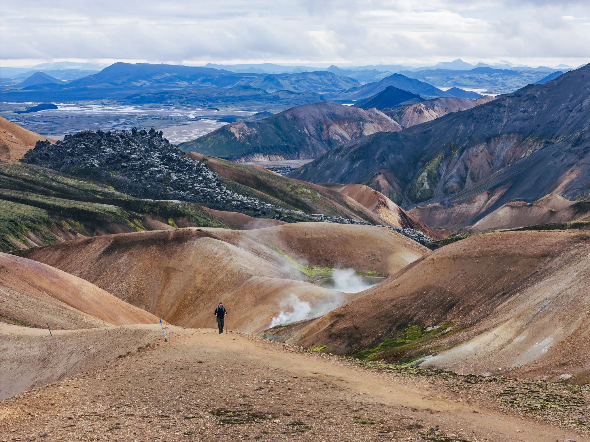
- Day 1 is the toughest. You climb about 470 m to Hrafntinnusker, at roughly 1,000–1,100 m, often over snowfields and in fog.
- The steep descent on day 2. The drop down the Jökultungur ridge to Álftavatn is steep and loose. Trekking poles help a lot.
- Weather. Wind above 10–12 m/s makes walking difficult, and fog can hide the trail markers within minutes. See weather and safety.
- River fords. At least three glacial rivers to wade, knee-deep and ice-cold. See river crossings.
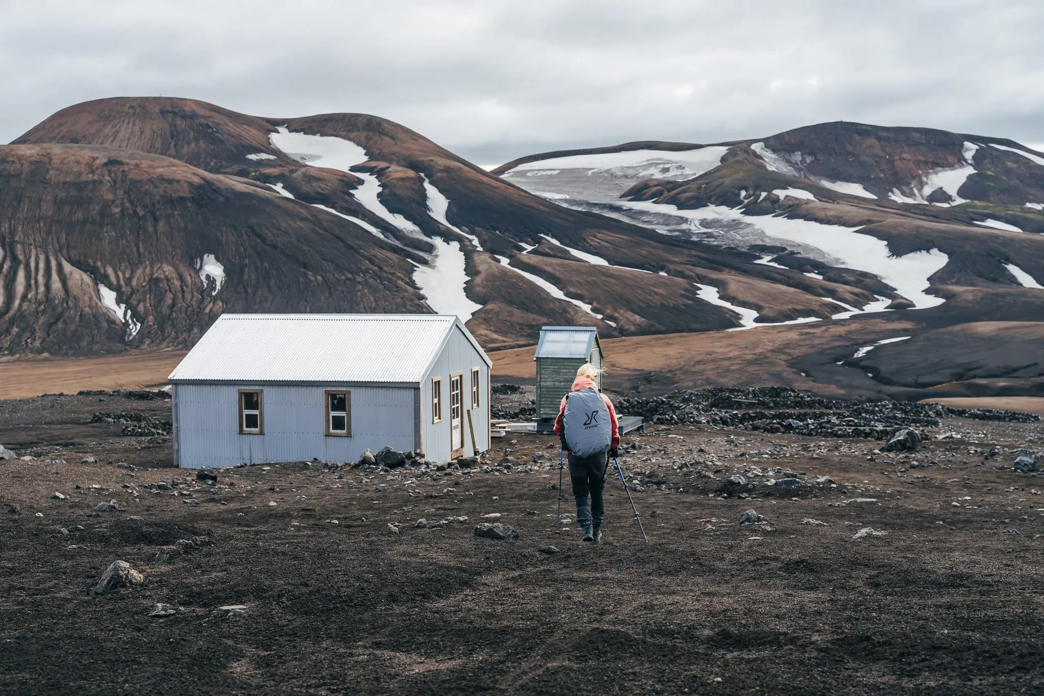
- Your pack. With a tent, stove and four days of food you carry 12–16 kg. In huts it’s less, but still a full sleeping bag and all your food.
What is easier than people think
- Navigation in good weather. The trail is clearly marked with poles and signposts.
- No technical terrain. No ladders, chains or exposed ridges.
- Short days. Four to seven hours of walking leaves time for breaks and side trips.
Who can do it?
| You… | Laugavegur in 4 days? |
|---|---|
| Regularly hike 15–20 km in hilly terrain | Yes, comfortably |
| Do day hikes but have never done a multi-day trek | Yes, with good preparation and in July–August |
| Have little hiking experience | Possible, but consider 5 days or a guided trip |
| Have knee problems | The long descents are the challenge: bring poles, plan shorter days |
| Want to go in late June or September | Only with experience in snow and fog, or with a guide |
How to prepare
- Walk with a loaded pack a few times in the months before: two consecutive days of 15 km is a good test.
- Train descents, not just climbs: stairs or steep hills downwards.
- Wear in your boots and test your river shoes.
- Keep your pack light: see the packing list.
Making it easier
Two things lower the difficulty more than any training: a lighter pack and someone else making the weather calls. With The Iceland Trail you can add luggage transport between the stops, rent the heavy gear, and choose a guided departure if you’re unsure about snow, fog or rivers.