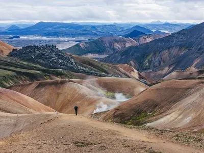
Landmannalaugar → Þórsmörk · Iceland
Hike the Laugavegur Trail
55 km of rhyolite mountains, obsidian fields, glacier rivers and black-sand deserts between Landmannalaugar and Þórsmörk. Everything you need to plan it — checked for the current season.
Read the complete guide →The trail at a glance
- Distance
- 55 km
- Typical duration
- 4 days (3–5)
- Season
- late June – mid Sept
- Hut night
- 17,000 ISK (2026)
- Highest point
- ± 1,100 m
- Start → finish
- Landmannalaugar → Þórsmörk
Plan your hike
See all articles →Laugavegur Trail: the complete guide for 2026–2027
Everything you need to hike Iceland's Laugavegur Trail: route and stages, huts and camping, season, transport, river crossings, gear and safety — checked for the current season.
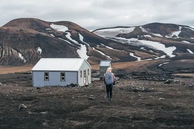
Laugavegur huts: 2026 prices, booking and what to expect
All Ferðafélag Íslands huts on the Laugavegur Trail: prices for 2026, how the booking system works, cancellation rules, facilities and tips for getting a bed in peak season.

Best time to hike the Laugavegur: month by month
When is the Laugavegur Trail open, which month is best, and what happens in a late snow year like 2026? A practical month-by-month overview.
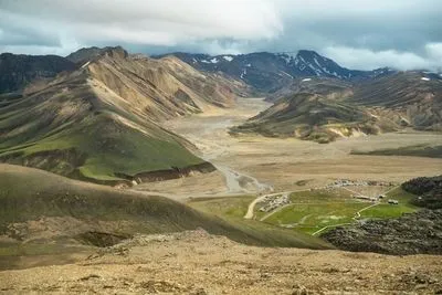
How to get to Landmannalaugar (and back from Þórsmörk)
Highland buses, 4×4 driving, parking rules and timetables: how to reach the start of the Laugavegur Trail and get back to Reykjavik from Þórsmörk in 2026.
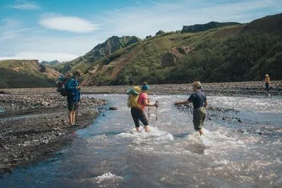
Laugavegur river crossings: where they are and how to cross safely
Which rivers you have to wade on the Laugavegur Trail, which ones have bridges, what to wear on your feet and how to cross glacial rivers safely.

The Laugavegur packing list: what you really need
A complete, tested packing list for the Laugavegur Trail, for hut hikers and campers: clothing, footwear, river-crossing gear, food and the small things people forget.
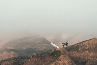
Weather and safety on the Laugavegur Trail
What weather to expect on the Laugavegur, why Hrafntinnusker is the critical section, and the simple habits that keep you safe in the Icelandic highlands.
Latest updates
Laugavegur Trail: the complete guide for 2026–2027
Everything you need to hike Iceland's Laugavegur Trail: route and stages, huts and camping, season, transport, river crossings, gear and safety — checked for the current season.
Laugavegur huts: 2026 prices, booking and what to expect
All Ferðafélag Íslands huts on the Laugavegur Trail: prices for 2026, how the booking system works, cancellation rules, facilities and tips for getting a bed in peak season.
Best time to hike the Laugavegur: month by month
When is the Laugavegur Trail open, which month is best, and what happens in a late snow year like 2026? A practical month-by-month overview.