What are the Laugavegur stages, day by day?
Short answer
The Laugavegur is usually walked in 4 stages from north to south: Landmannalaugar to Hrafntinnusker (12 km, +470 m), Hrafntinnusker to Álftavatn (12 km, −490 m), Álftavatn to Emstrur (16 km) and Emstrur to Þórsmörk (15 km, −300 m). Together that is 53–55 km, with about 1,000 m of climbing and 1,350 m of descent. Each day takes 4 to 7 hours of walking and ends at a Ferðafélag Íslands hut.
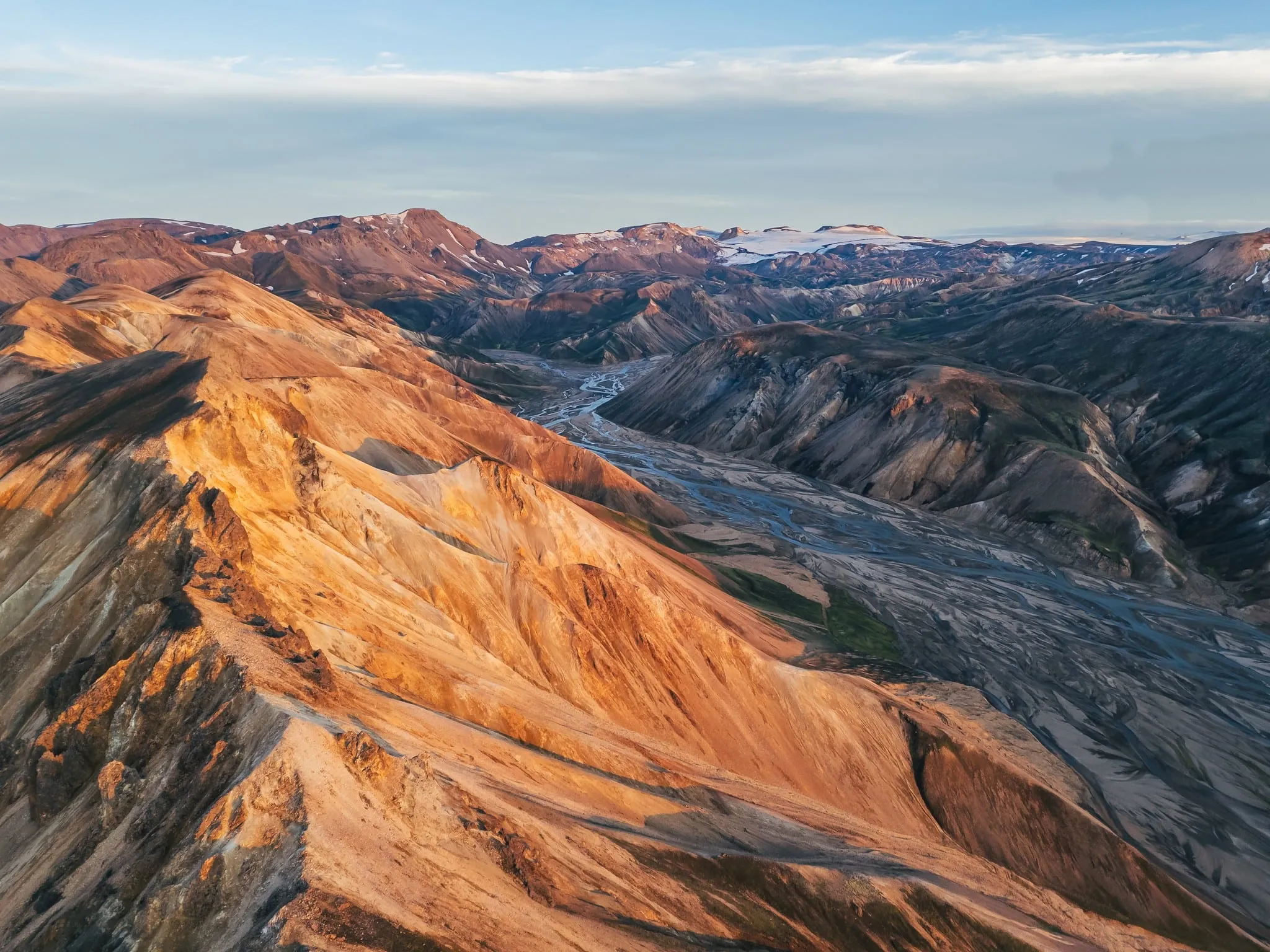
The Laugavegur runs 53–55 km from the coloured mountains of Landmannalaugar to the birch woods of Þórsmörk. Most hikers split it into four stages. Each one ends at a Ferðafélag Íslands (FÍ) hut with a campsite next to it.
On paper the days are short, 12 to 16 km. The terrain, the rivers and the weather make them feel longer. Below is what each day looks like, walking north to south. That is also the order in which FÍ sells its hut packages.
The four stages at a glance
| Day | Stage | Distance | Walking time | Climb / descent | Rivers | Hut altitude at the end |
|---|---|---|---|---|---|---|
| 1 | Landmannalaugar → Hrafntinnusker | 12 km | 4–5 h | + 470 m | none | ± 1,050–1,100 m |
| 2 | Hrafntinnusker → Álftavatn | 12 km | 4–5 h | − 490 m | Grashagakvísl (wade) | ± 580 m |
| 3 | Álftavatn → Emstrur | 16 km | 6–7 h | − 40 m | Bratthálskvísl, Kaldaklofskvísl (bridge), Bláfjallakvísl (wade) | ± 480 m |
| 4 | Emstrur → Þórsmörk | 15 km | 6–7 h | − 300 m | Fremri-Emstruá and Ljósá (bridges), Þröngá (wade) | ± 220 m |
| Total | Landmannalaugar → Þórsmörk | 53–55 km | 4 days | ± 1,000 m up, ± 1,350 m down (GPS) | at least 3 fords |
The climb and descent per stage are FÍ’s figures between the huts. Along the way the trail goes up and down all the time. That is why a GPS track of the whole route adds up to about 1,000 m of climbing and 1,350 m of descent. Landmannalaugar itself sits at about 580 m. Hut altitudes come from FÍ’s trail signs.
Wondering whether you’re fit enough for this? Read how hard the Laugavegur is.
Day 1: Landmannalaugar to Hrafntinnusker
12 km, 4–5 hours, about 470 m up.
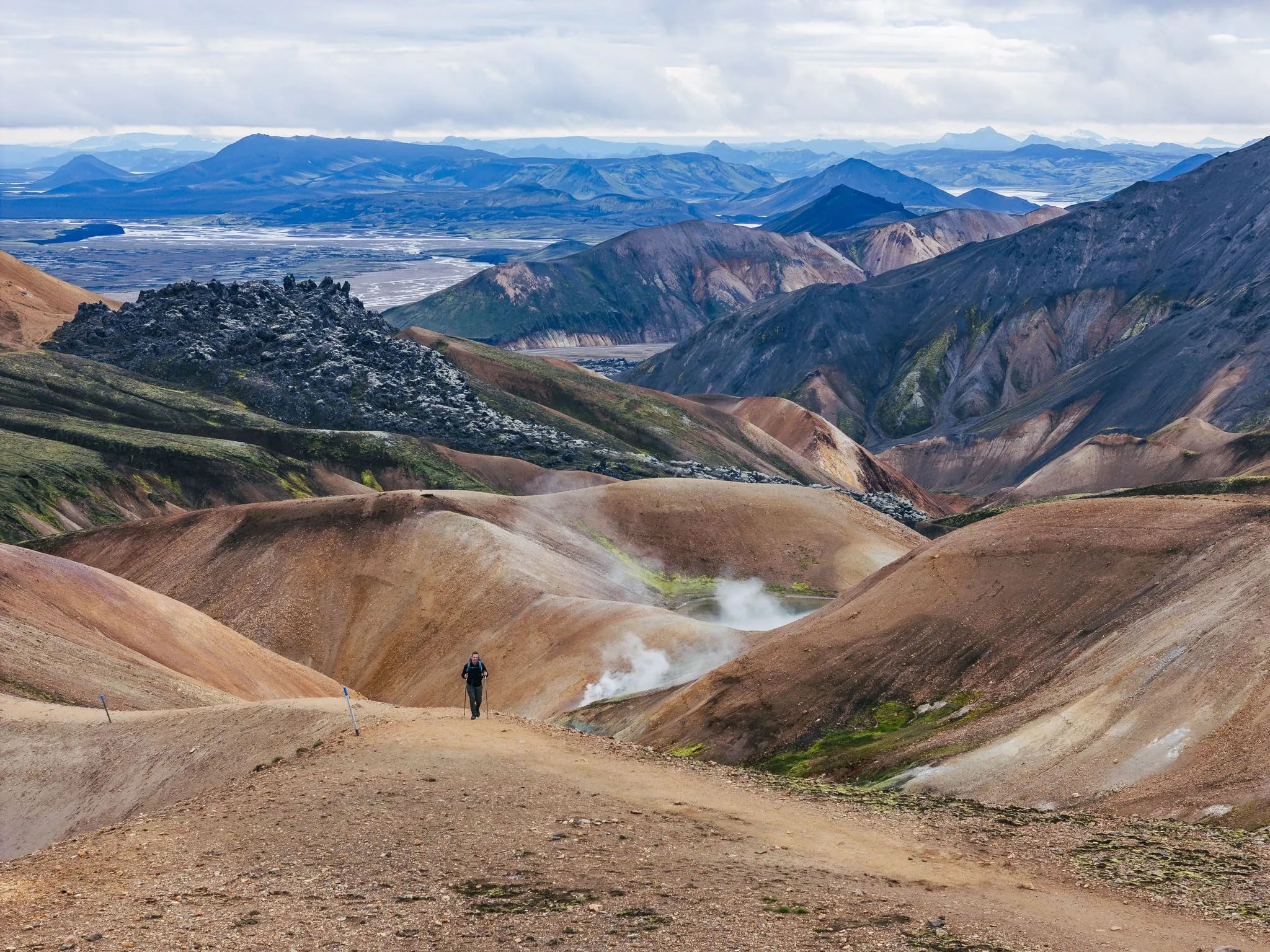
The biggest climb comes first. You leave Landmannalaugar through the Laugahraun lava field, with black obsidian along the path. The trail then climbs past Brennisteinsalda, a mountain streaked with yellow, green and red, and into an area of steaming vents.
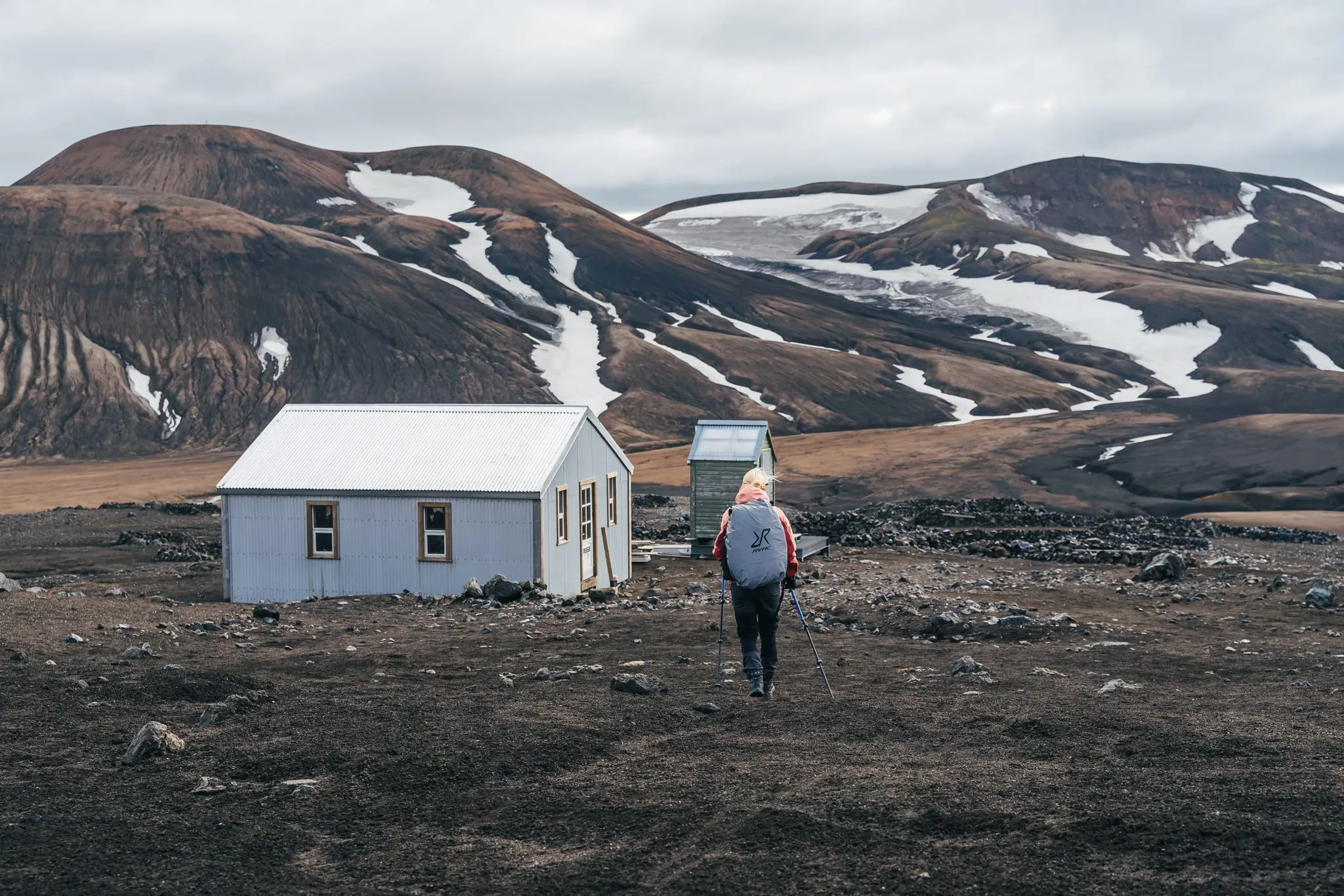
Higher up you often walk on snow, even in July. The Hrafntinnusker hut (Höskuldsskáli) stands at roughly 1,050–1,100 m. It is the coldest and most exposed stop on the trail, and it has no showers. Fog can roll in fast here, so follow the marker poles closely. If the weather turns, ask the hut warden before you go on.
Side trip: Söðull, about 1 km return, 30 minutes to 1 hour.
Day 2: Hrafntinnusker to Álftavatn
12 km, 4–5 hours, about 490 m down.
The day starts high, crossing the Reykjafjöll hills with their snow-filled ravines. On a clear day the viewpoint at Jökultungur shows you three glaciers. Then comes the steep, loose descent down Jökultungur. Trekking poles help a lot, and so does taking your time.
At the bottom you reach your first ford, the Grashagakvísl. In early summer it can sometimes be crossed on snow bridges; later in the season you wade. The two Álftavatn huts stand on the shore of a lake at about 580 m.
Side trip: Brattháls, about 5.5 km return, 1.5–2 hours.
Day 3: Álftavatn to Emstrur
16 km, 6–7 hours, almost level overall.
The longest day, and the one with the most rivers. Soon after Álftavatn you cross the Bratthálskvísl and pass the small hut area of Hvanngil. The Kaldaklofskvísl has a footbridge. The Bláfjallakvísl you wade.
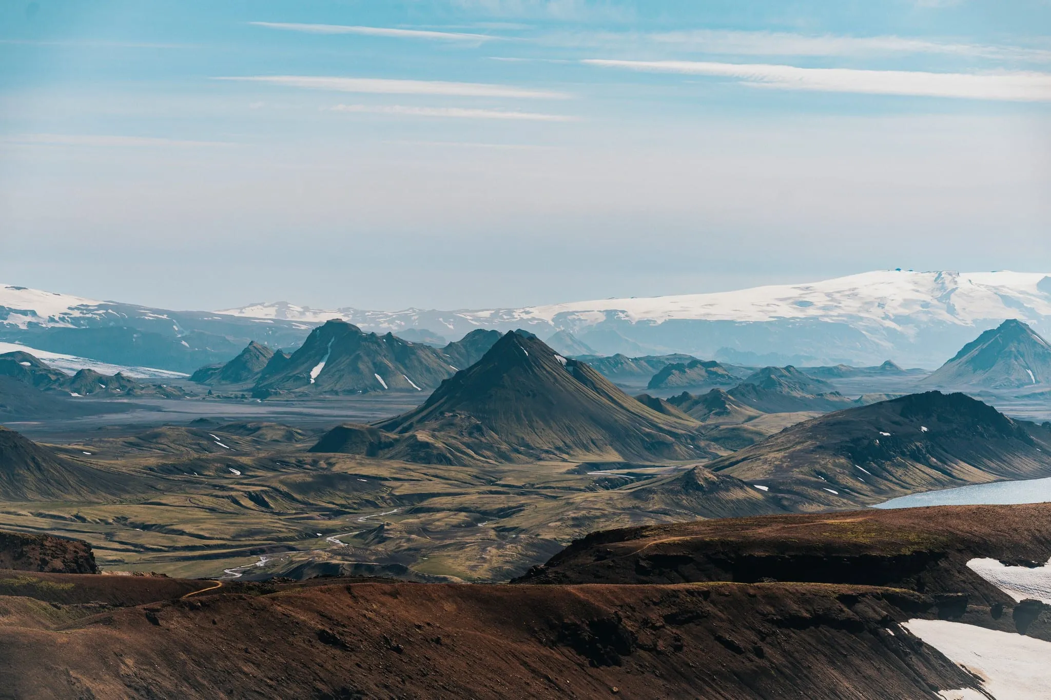
Then the landscape changes completely. Mælifellssandur is a wide black-sand plain with glaciers in the distance. The walking is easy but exposed, so wind makes a big difference here. Near the end come small canyons and moss-covered hills, and then the three Emstrur (Botnar) huts at about 480 m.
FÍ gives this stage as 16 km in its stage description and 17 km in its sample itinerary, so plan for a long day either way.
Side trip: the Markarfljót canyon (Markarfljótsgljúfur), about 4.5 km return, 1–2 hours.
Day 4: Emstrur to Þórsmörk
15 km, 6–7 hours, about 300 m down.
The last day starts by crossing the Fremri-Emstruá canyon on a footbridge. The Ljósá also has a bridge. The final river, the Þröngá, has to be waded. After that the trail drops into the birch forest of Hamraskógar and the Langidalur valley, where the Skagfjörðsskáli hut stands at about 220 m.
Most hikers end here or at Básar or Húsadalur nearby, where the highland buses leave. If you have an extra hour or two, climb Valahnúkur above Langidalur (4 km, 1–2 hours) for a view back over the valley.
Still full of energy? Some hikers continue over the Fimmvörðuháls pass to Skógar.
The Hvanngil variant
FÍ also lists a four-day route that skips Álftavatn:
| Day | Stage | Distance |
|---|---|---|
| 1 | Landmannalaugar → Hrafntinnusker | 12 km |
| 2 | Hrafntinnusker → Hvanngil | 16 km |
| 3 | Hvanngil → Emstrur | 13 km |
| 4 | Emstrur → Þórsmörk | 15 km |
| Total | ± 56 km |
This makes day 2 longer and day 3 shorter. It can be a good option if Álftavatn is full. FÍ also mentions a two-day version via Hvanngil (28 km + 28 km), but that is only for experienced, very fit hikers in stable weather.
Tips for planning your days
- Start early. Weather in the highlands usually gets less predictable as the day goes on, and an early start leaves room for breaks and side trips.
- Check conditions every morning. Ask the warden at each hut about the weather and the rivers, and leave a travel plan via Safetravel.
- Expect your first wet feet on day 2. Keep river shoes easy to reach on days 2, 3 and 4. Our guide to river crossings explains how to wade safely.
- Book in walking order. FÍ sells its huts as fixed packages from north to south, and you need a booking before you start. See Laugavegur huts for prices (17,000 ISK per night in 2026) and how booking works.
- Lighten your load. If carrying four days of food and a sleeping bag is what worries you most, The Iceland Trail can arrange luggage transport between the stops, so you walk each stage with a day pack.
Sources
FÍ – Laugavegur: stages, huts and side trips, FÍ – Laugavegur trail sign texts (PDF), Safetravel.